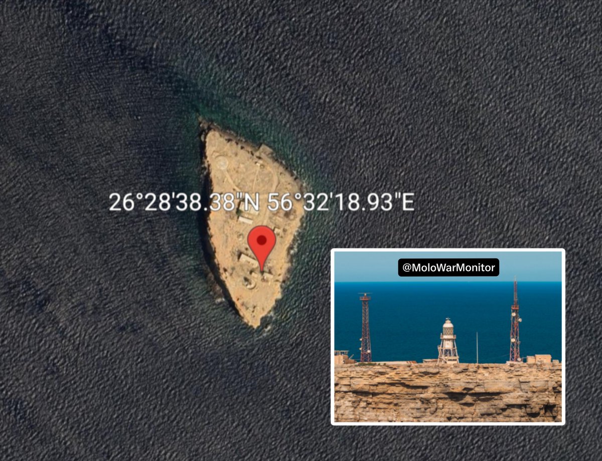
Sh1n reposted an OSINT assessment by @MoloWarMonitor stating that Sentinel-2 satellite imagery dated 08/11/2026 shows a burn mark at the tip of Oman’s Didamar Island, on the southern side of the Strait of Hormuz.
The scorched area is located at approximately 26°28'38.38"N 56°32'18.93"E, precisely where the island’s radar and radio communication infrastructure is located.
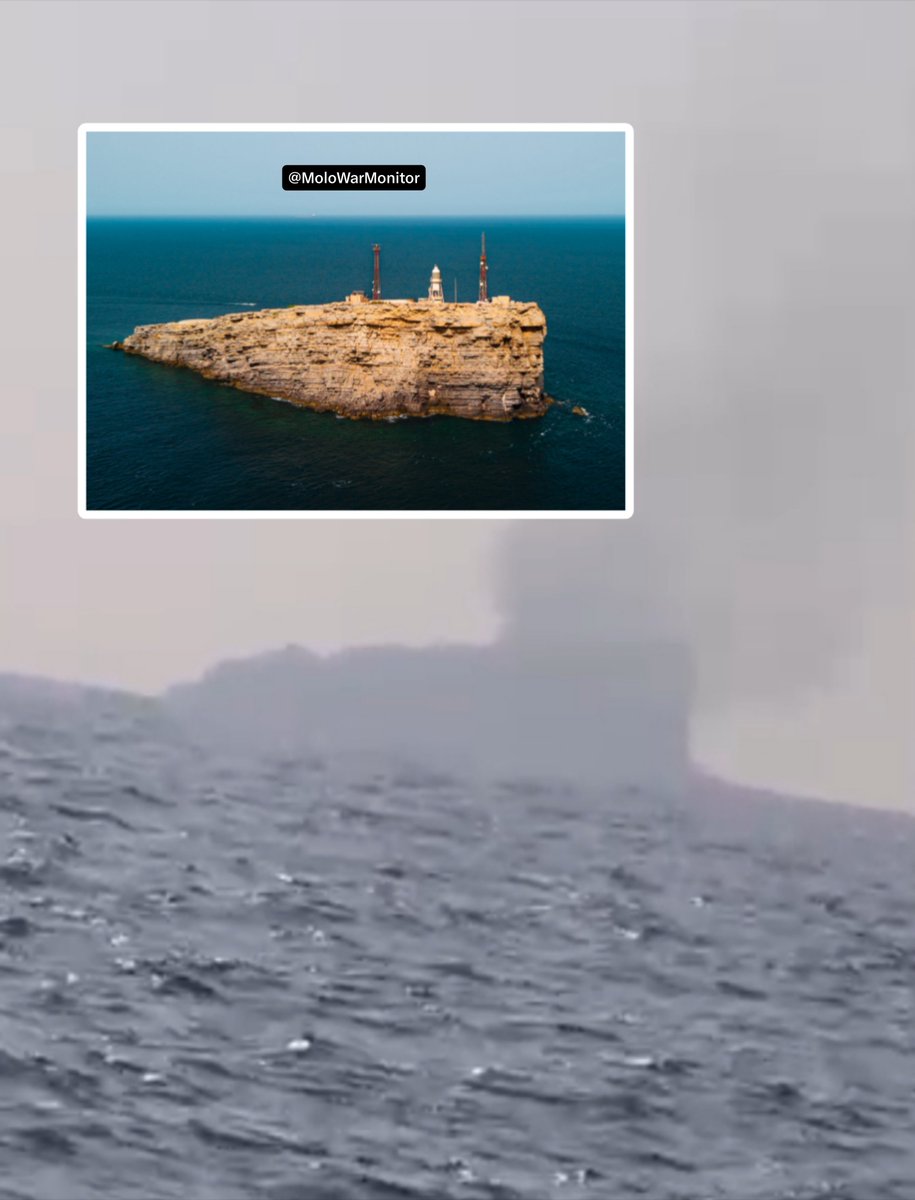
The quoted post alleged that Iran struck the island and said video showed a plume of smoke rising from the infrastructure. According to an IRGC official, systems:
"used to facilitate the passage of ships"
were destroyed, and no vessel was able to pass through the southern route the previous night.
The repost added that the IRGC claimed the systems were used by the U.S. Navy to facilitate the passage of escorted vessels through the Omani route. It noted that there is currently no evidence supporting that claim.


Discussion
Comments
No approved comments yet.